Good to know
- Pedestrian access only, adjacent to parking area
- No facilities provided
- No campfires
- No dogs allowed
- Mobile phone coverage is available
- Cattle and sheep including bulls and rams graze this area
Activities
- Dispersed camping
- Fishing
- Walking
Camping area description
Tallarook Camping area 2 is on a licensed Crown water frontage that has been designated for camping. Before visiting this site, find out about access to Crown water frontages.
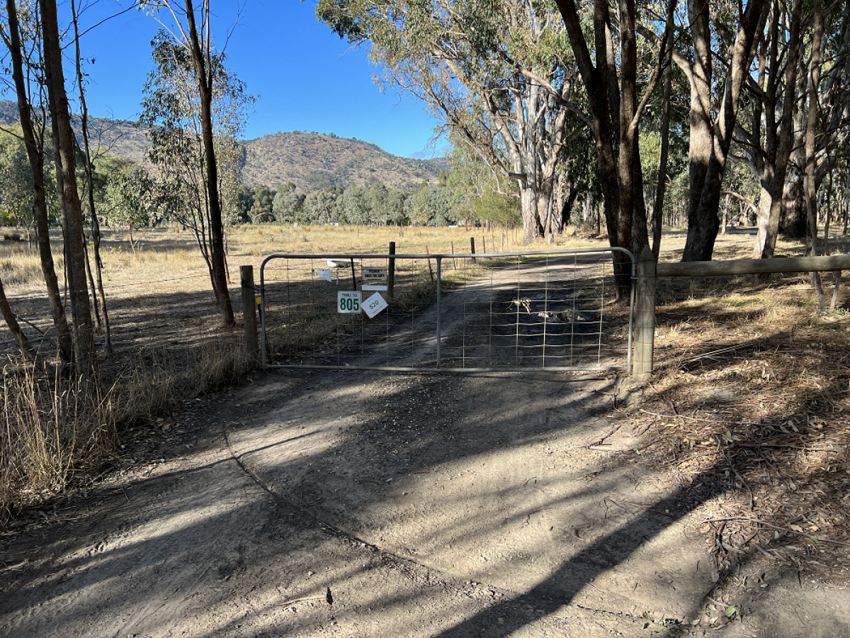
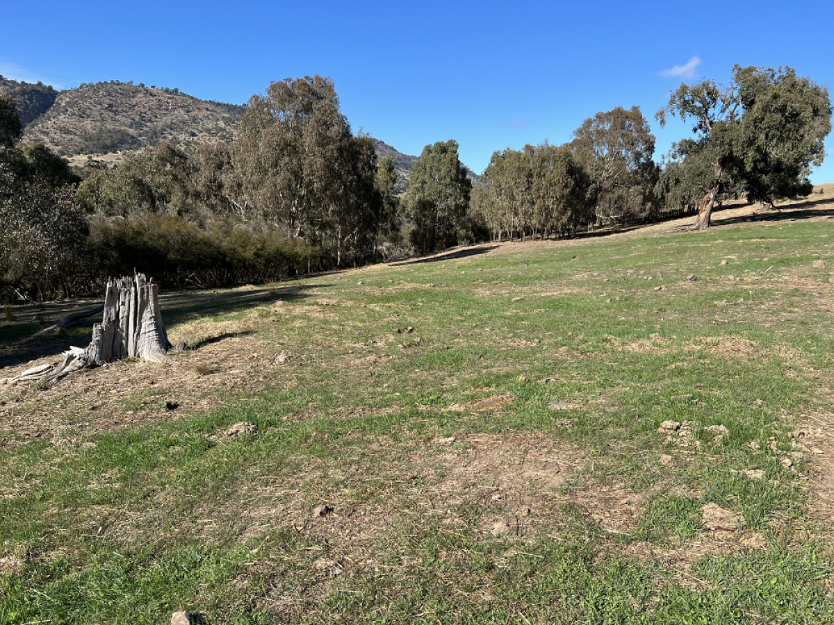
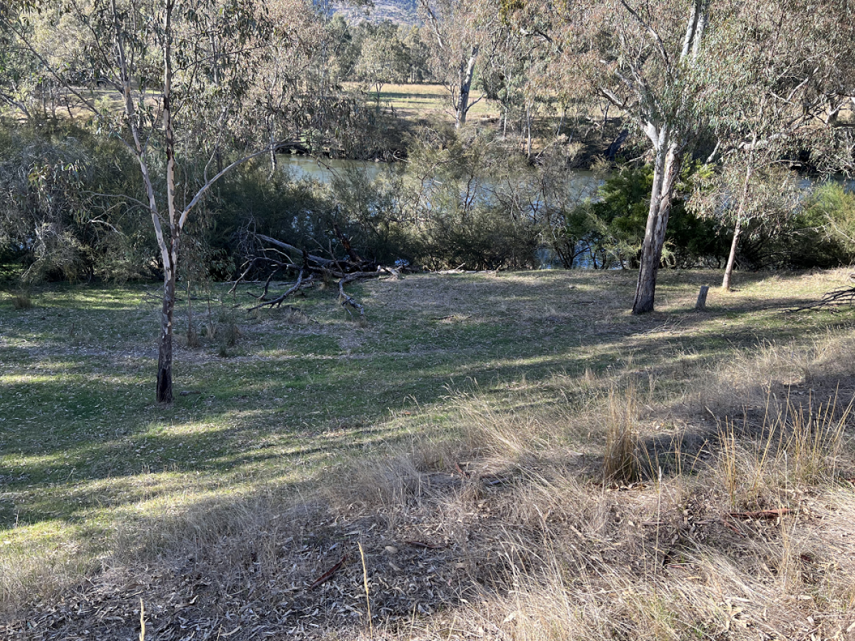
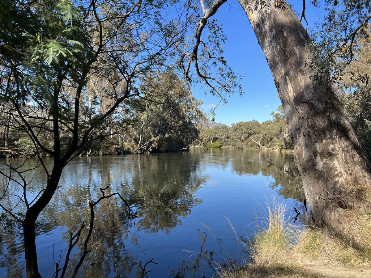
This Crown river frontage is accessed via the car parking area at the southern end of Telegraph Rd, south east of Seymour. The camping area is on a grassy slope with some trees, and is grazed by livestock. River access from the camping area is via a steep bank.
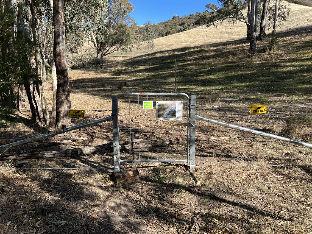
It is important that campers use the map and instructions below to safely access the area and avoid trespassing on private property.
Camping is only permitted in the designated area on this frontage (see map below). Visitors may use other areas of Crown water frontage for recreational activities other than camping such as fishing, walking, and picnicking.
Safety
Crown water frontages are rough and rugged bush camp areas. Before you go, it is important to consider all potential risks and hazards when accessing and camping at this location. Campers are responsible for thier own safety and the safety of those in their care.
Livestock
- This site may be part of a working farm.
- Cattle may be present on this water frontage and access the river.
- If cattle approach you, avoid sudden movements and loud noises.
- Farm animals are not pets. They can be large and unpredictable and should not be approached
- Store your food in a secure container to avoid attracting livestock and other animals.
- Leave all gates as you find them.
Tree hazard
- Trees and limbs may fall unexpectedly. Avoid camping under trees.
- Stormy and windy weather increases the risk that trees and limbs may fall.
Water and flood safety
- Play it safe by the water.
- Hidden dangers may include submerged objects and debris and strong currents. A storm well upstream from you could cause flash flooding.
- Check the Bureau of Meteorology for weather forecasts and flood warnings, or visit Play it Safe by the Water for more information.
Bushfires
- Be aware of dangerous weather and bushfire conditions.
- Check VicEmergency for information about current fires, Fire Danger Ratings and Total Fire Bans.
Other risks that may be present include dangerous terrain, animals and adjoining farming operations.
Tallarook camping area 2 image gallery
How to get there
- From Seymour, head east on the Goulburn Valley Hwy
- Turn south onto Telegraph Rd
- Follow Telegraph Rd to the unlocked gate
- Continue along the track to the car parking area
- The camping area can be accessed on foot via a gate installed in the fence. Please ensure the gate is left closed when accessing the camping area
Get directions to the camping area access point
Map - camping area
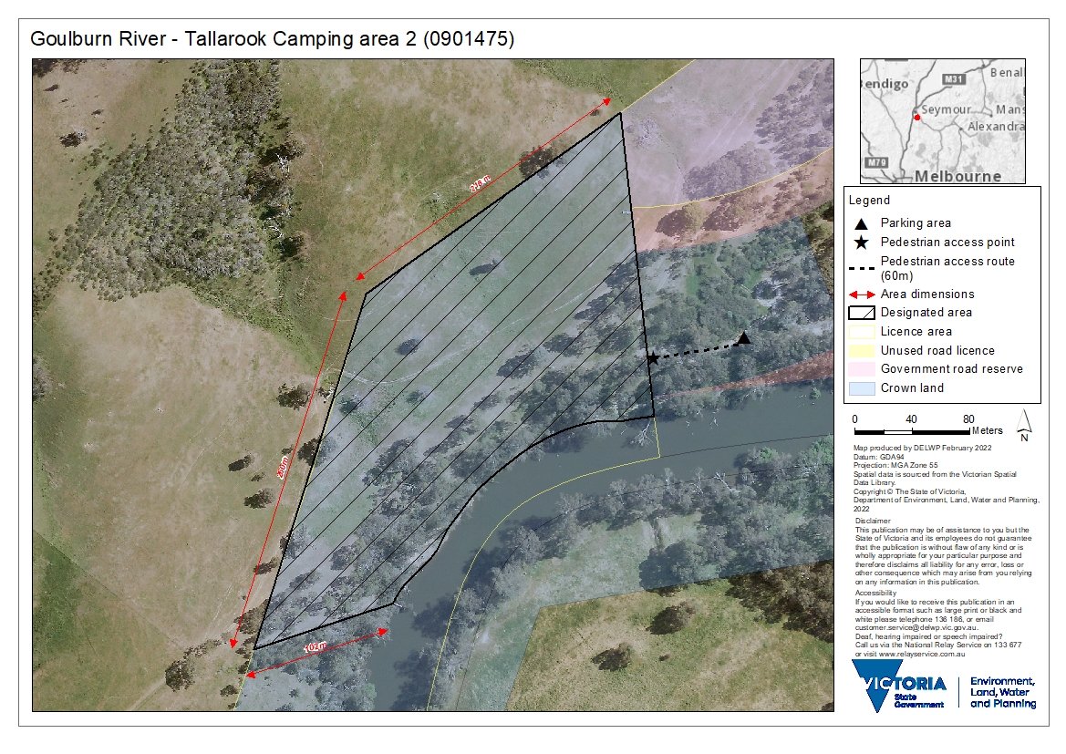
Map - Goulburn River - Tallarook Camping area 2 (PDF, 4.4 MB)
Resources
- Fact sheet - Camping on licensed Crown river frontage (PDF, 174.0 KB)
- Fact sheet - Guide to site assessments - Camping on licensed Crown river frontage (PDF, 155.4 KB)
- Fact sheet - Crown water frontage: A guide to public access and recreational use (PDF, 200.0 KB)
- Land (Regulated Watercourse Land) Regulations 2021
Further information
- Water frontage licensing
- Summer safety information
- MapshareVic - licensed and unlicensed Crown water frontages and access points can be explored here using the 'Public Land' theme
Page last updated: 06/04/22